


The Use Of SmartMap Data In GIS Software
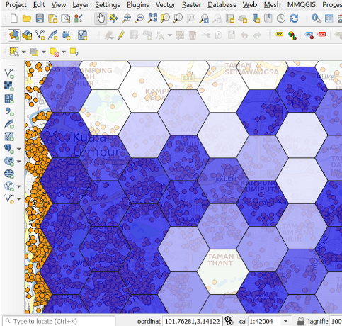
Geographic Information System (GIS) is software used to view, edit and analyze all types of geographic and spatial data. GIS software is useful for planning, operation, and marketing. There are two types of GIS software which are commercial and open source.