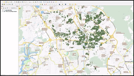
Batch Geocode Service With TM ONE SmartMap & Visualize In QGIS
TM ONE SmartMap API as the geocoder to batch geocode and visualize in QGIS the data results.


TM ONE SmartMap API as the geocoder to batch geocode and visualize in QGIS the data results.
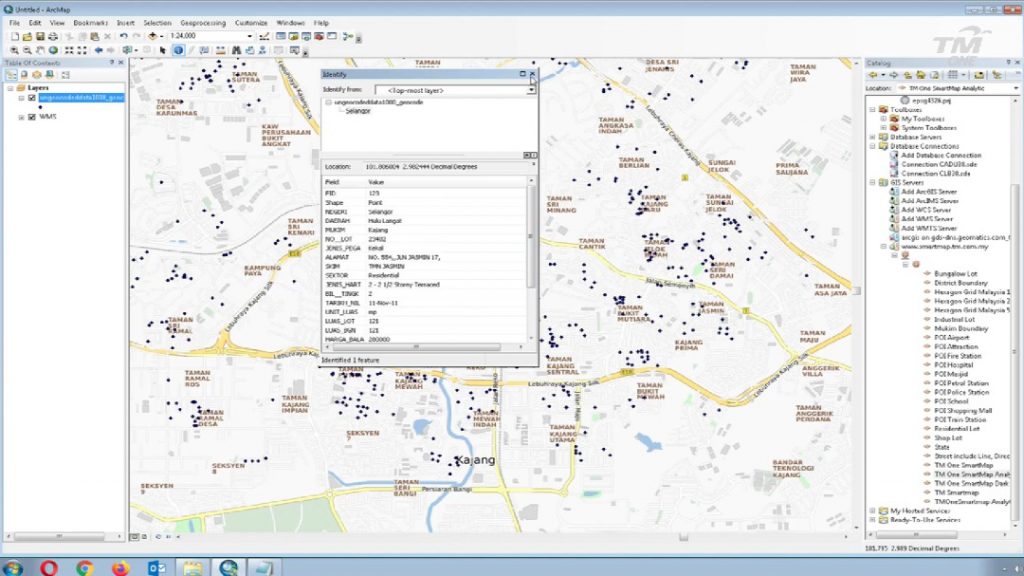
Geocoding and reverse geocoding data from Smartmap API can be used in GIS software, and a basemap layer can be applied to enhance the visual appeal of the data. It’s also possible to use SmartMap Tools to get geocoding and reverse geocoding data from GIS software that the user owns by activating them with API keys. This means that the user can get the data directly into their GIS software.