


TM: Malaysia Map
28 May 2014
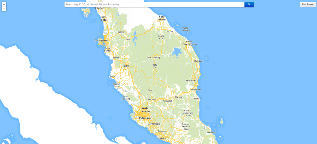
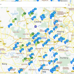
Do you ever know that TM has a Malaysia Map?
TM Geomatics was established in 1991 with the objectives to bring flexibility in Network Design and asset management system for TM’s outside plant.
With strong objective, TM has started to develop Malaysia Map which covered whole Malaysia that included peninsular Malaysia &
Sabah & Sarawak since 1995 and had been well maintained until now.
How does TM get the data?
It is difficult to ensure that the map is 100% accurate compared with the real world.
Nevertheless, TM has implemented a few methods to ensure TM map content is reliable, accurate, and provides high quality to customers.
a) Collaboration activities
TM has few collaborations with related parties for the acquisition of data. Eg, property data and property valuation that can be seen in TM Map are one of collaboration between TM and Iproperty. Property data and property valuation information are able to help customers to make analyses on the household income level at the particular area of interest.
b) POI Web Scraping
Using special software, TM extracts information from well-known websites to update its POI. TM will then geocode the addresses it managed to extract out.
c) Feedback from users
The most common way and effective way to collect data is through feedback from users or customers. However, this method is time consuming, tedious, and expensive process.
After receiving feedback from users, officers have to verify the credibility of the feedback before digitizing and transferring it. Normally, the ground survey will be conducted to ensure the reliability and credibility of the data. Although it is the best way to obtain highly accurate point locations, the ground survey is a very time-consuming and expensive activity that TM facing now. After verification is done, the digitizing process will go through by our digitizers.
Besides, the editing process will also be done to make sure no error as well as improve quality.
d) Property developers
Nowadays, there are a lot of new development areas and real estate developments. In order to get updated and accurate information, TM has collaborated with property developers to get the new real estate developments area. This information is important for property investors, franchise companies, and retail companies that hope to open a new outlet. You are able to visualize survey the area that you are interested in before you going on-the-ground to survey.
e) Scheduled survey
Besides the initiatives mentioned above, TM also has its own surveyors that going on-the-ground to locate exact points and collect information. In order to minimize the cost and update the map effectively, the supervisor is responsible to make sure surveyors are following the scheduled surveys.
Survey on the ground is important to make sure TM’s Malaysia Map is updated, high quality, accurate, reliable, and credible.