Geocoding Made Easier With SmartMap Data
08 April 2021

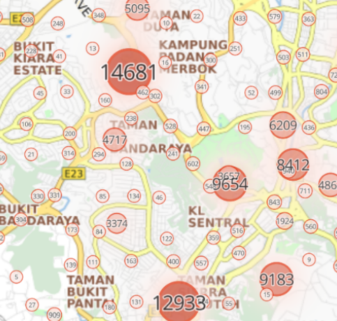
Geocoding is the process of transforming a description of a location such as a pair of coordinates, an address, or a name of a place to a location on the earth’s surface.
Current Enterprises’ Needs:
Targeted Marketing
Understand your customers’ usage pattern to plan for any upselling or cross-selling campaigns based on the port availability in that area.
- Service Planning
Populate your customers’ location and find where the underserved markets are to plan suitable services or offerings to meet the requirement for these segments.
Risk Management
Understands the density insurers area by applying to geocode and risk-scored location intelligence to more accurately assess risk at the individual property level.
How Geocode Fulfills Enterprises’ Current Business Needs?

Easy Integration
For mobile application, website, and software; QGIS< ESRI & Tableau.

High Success Rate
More than 6 Mil addresses are available.

High Accuracy
Perform 60% matched at the property level in comparison to other geocoders.

Ease of Use
Upload a CSV file to the interface, & it’s good to go!

Accuracy Level Indicator
Results indicate the address matched at either property / street / section / city / state level.
Related Posts
Smartmap compares three different algorithms for detecting change on the ground using satellite imag...
SmartMap Site Selection Recommender gives you suggestions of the best solution for your new outlet o...
Geographic Information System (GIS) is software used to view, edit and analyze all types of geograph...


