


Three categories of data sources were used by tm one for smartmap in order to ensure the accuracy and quality of the data obtained.
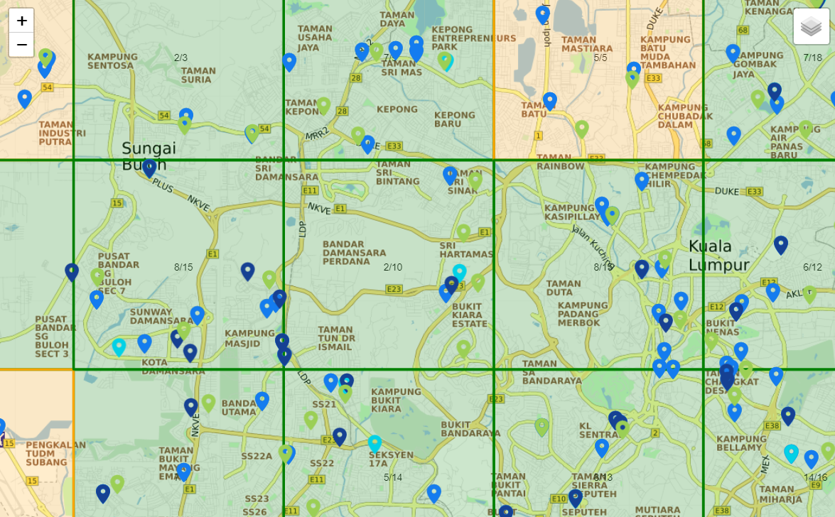
SmartMap Site Selection Recommender gives you suggestions of the best solution for your new outlet or shifting non-performing outlet. It is able to pin site suggestions within a 500m square area
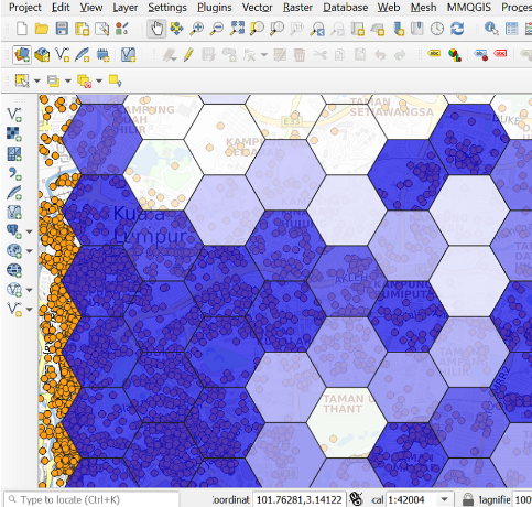
Geographic Information System (GIS) is software used to view, edit and analyze all types of geographic and spatial data. GIS software is useful for planning, operation, and marketing. There are two types of GIS software which are commercial and open source.
Geocoding is the process of transforming a description of a location such as a pair of coordinates, an address, or a name of a place to a location on the earth’s surface.
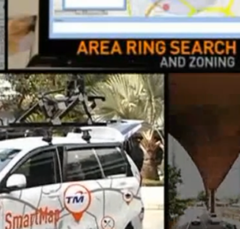
TM got a chance to promote the product in the Do-It program. The interview was held on 26th November 2015 spokesperson from TM is Mr. Moharmustaqeem bin Mohammed, the Vice President of Mass Market Marketing Operation. This interview is to give exposure to TM involvement and effort to make ‘Business and Life Made Easier’ in providing an innovative geospatial solution to agencies and businesses. Indirectly, they can aware of the importance of geospatial information to grow their business.